Date Climbed: June 24, 2023
Trailhead: Winfield, CO
Trailhead Access: 2wd
The Winfield Traverse. A big day, but well-worth it.
We started near the extremely tiny town of Winfield, CO, because I didn’t want to have to drive my car up the 4WD 390 road to the Winfield TH. There are several ways I saw others do this route, but I decided to approach in a different way; from an old mining road located on the northside of Winfield peak.
Overall, I think this approach tacked on a few miles, but it saved a lot of bushwhacking, so maybe some energy savings?
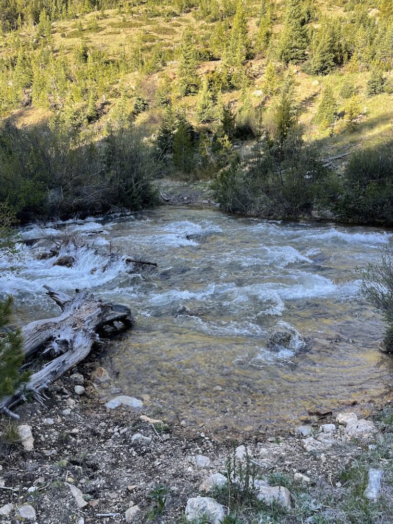
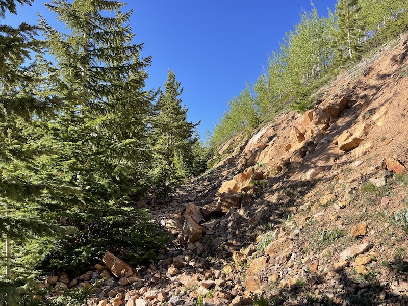
Starting from Winfield, we headed west on 390A for roughly a mile. Then we turned left onto the mining road, which is only visible on some maps. The USFS Topo map on 14ers.com shows it. There is a river crossing to get across North Fork Clear Creek, and although it was a high water year I didn’t think it was bad at all. It also seemed as though the mining road found an ideal place to cross where the river was slightly wider and less rapid-y. I used the classic cross-in-socks technique and then change out to a fresh pair of socks.
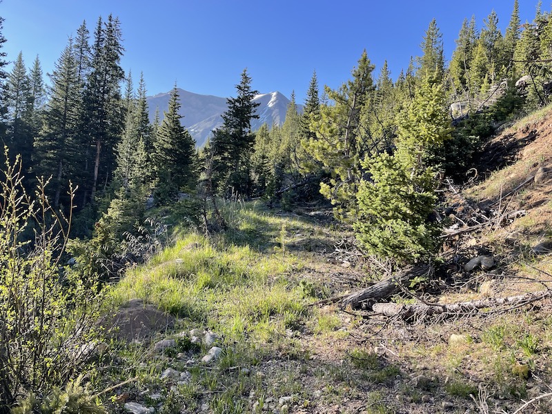
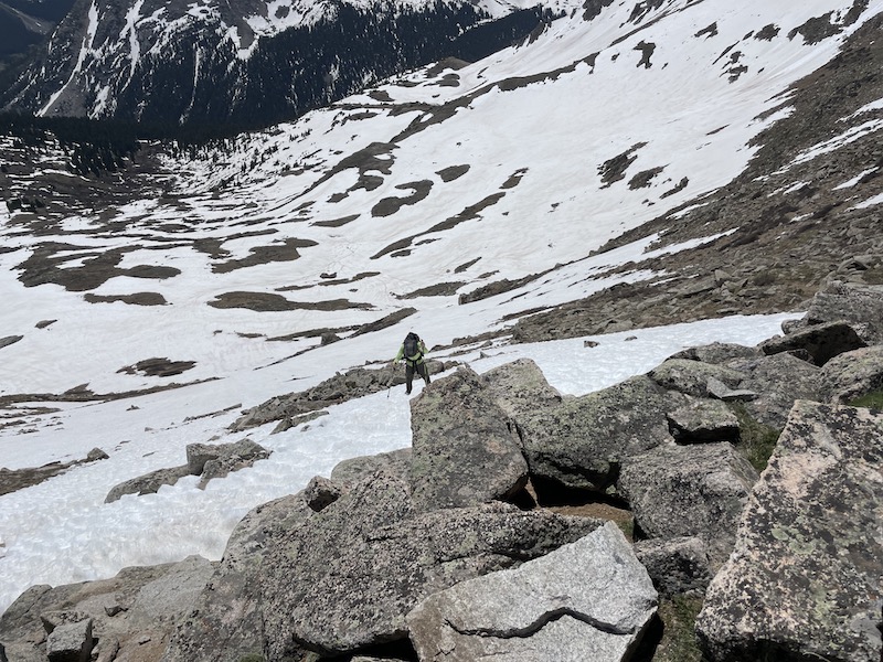
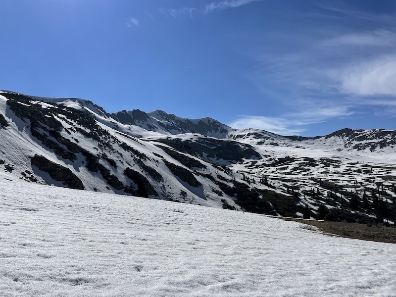
The mining road is not very steep but the switchbacks make it long. Just after treeline we cut left, exiting the road and went directly up to the saddle. It was also late June on a high-snow year so there was some snow covering the road near the top anyway.


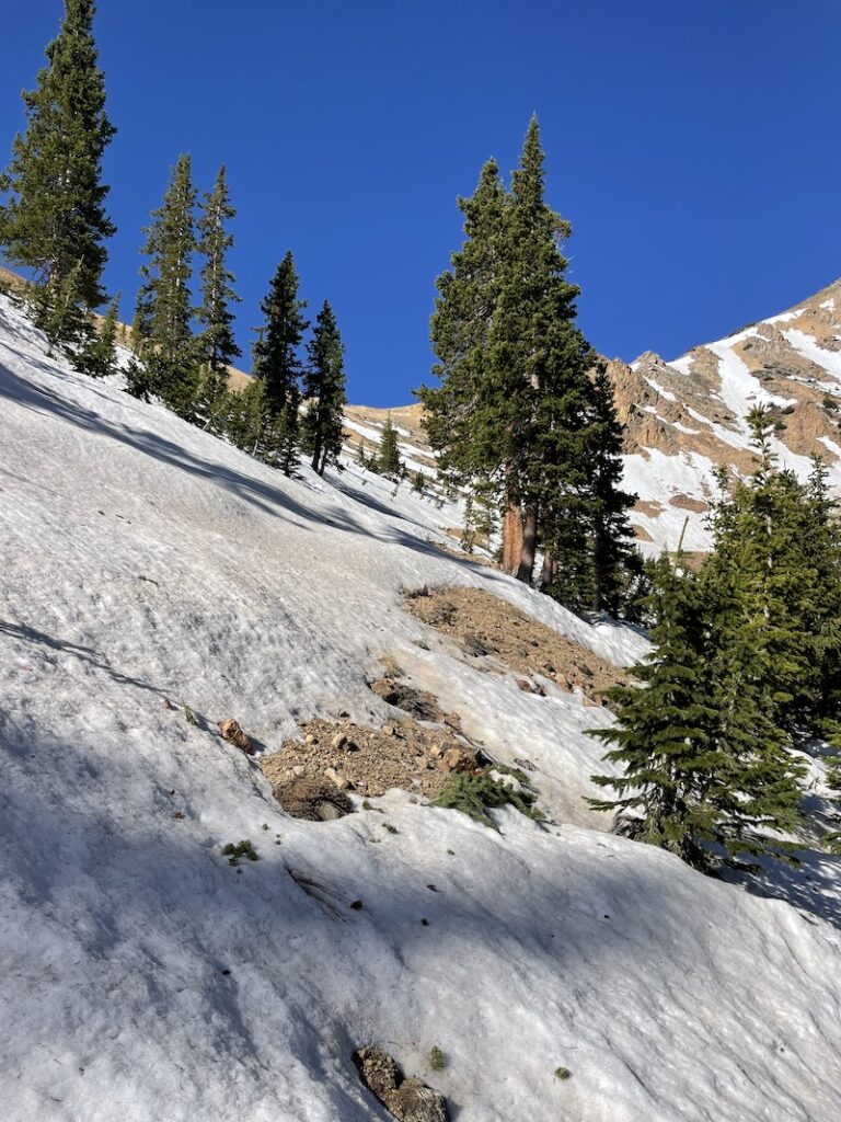

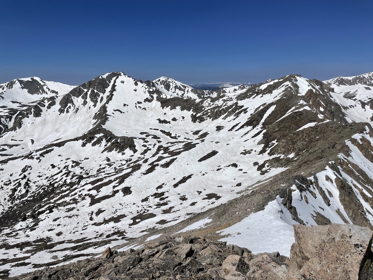
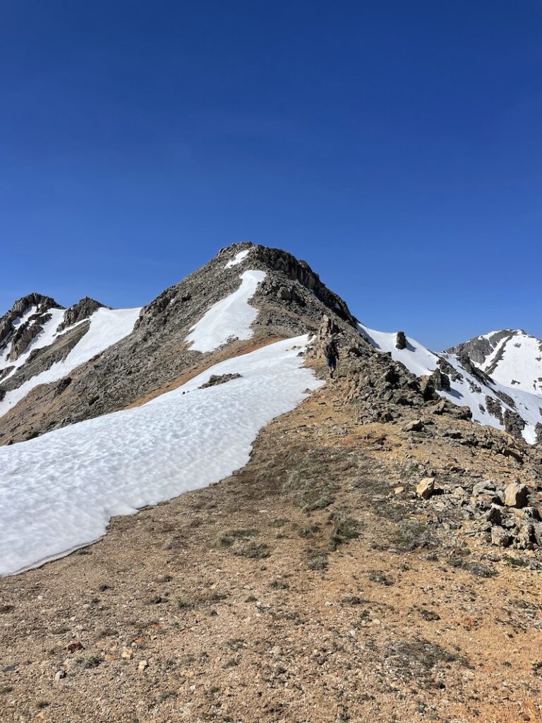
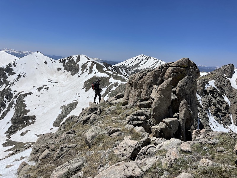
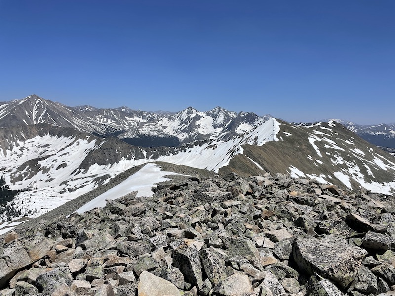
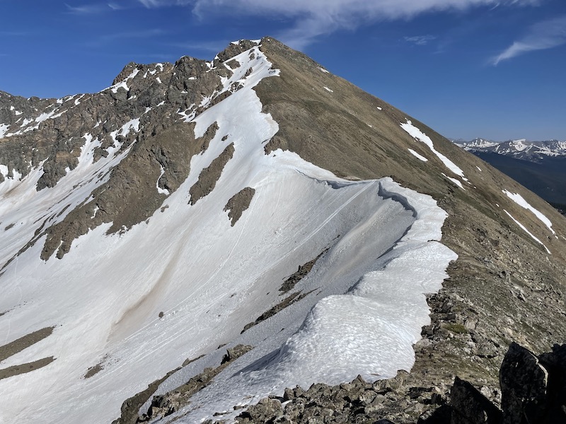
Once on the saddle, we were basically on the ridge we’d spend most of the day on. Snow was pretty much completely avoidable on the ridge, which was fortunate since we had decided to ditch the snowshoes, crampons and ice axe.
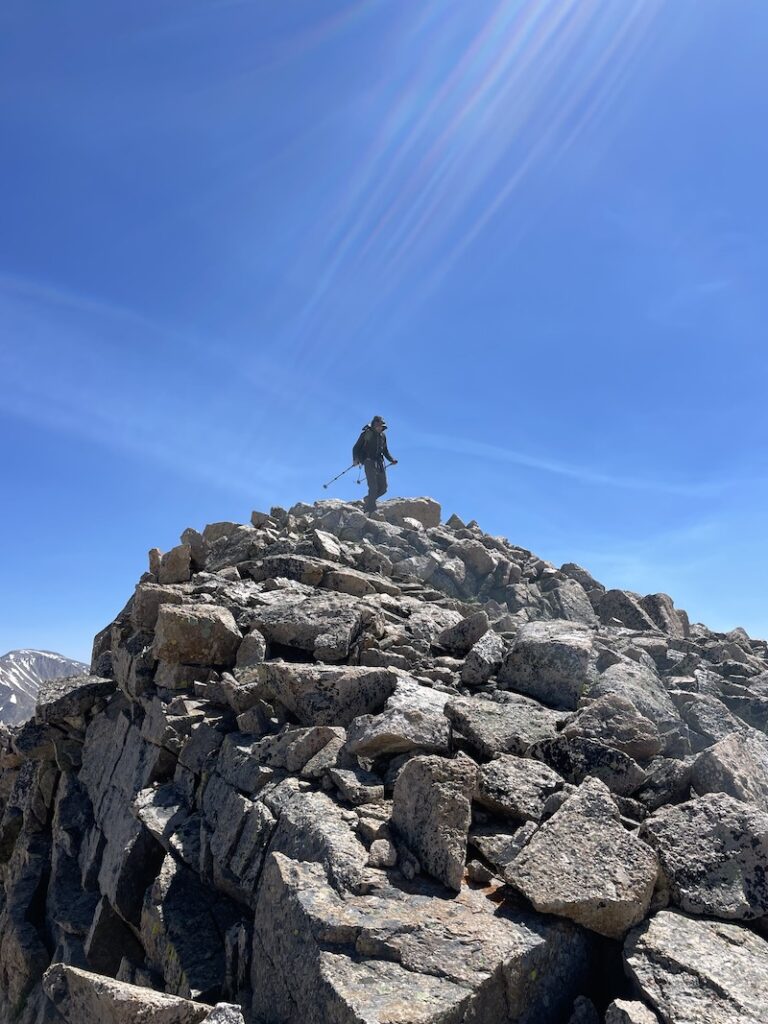
From that saddle we went up a class 2 ridge to the summit of Winfield.

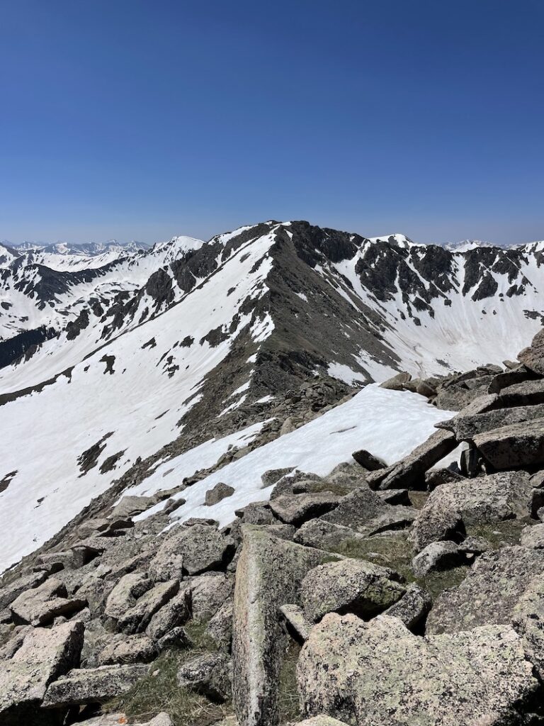
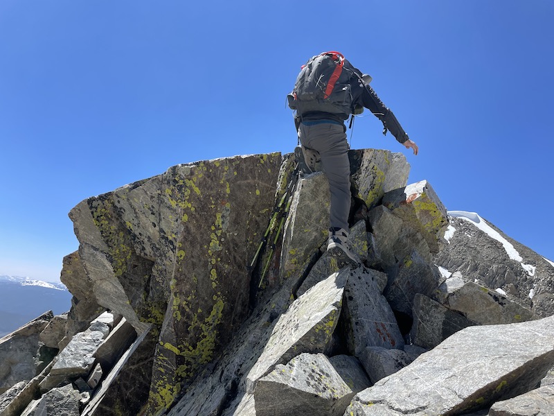
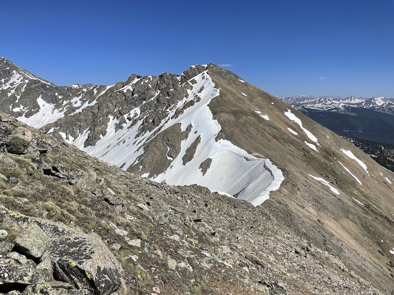
It’s easy to be tricked into thinking the passage to the other peaks would be a cakewalk; in reality, there were some dips, bypasses and unranked peak top-outs along the way that always make traverses more arduous. However, the ridge never went above class 3, and I’d say easy, not exposed class 3 at that.
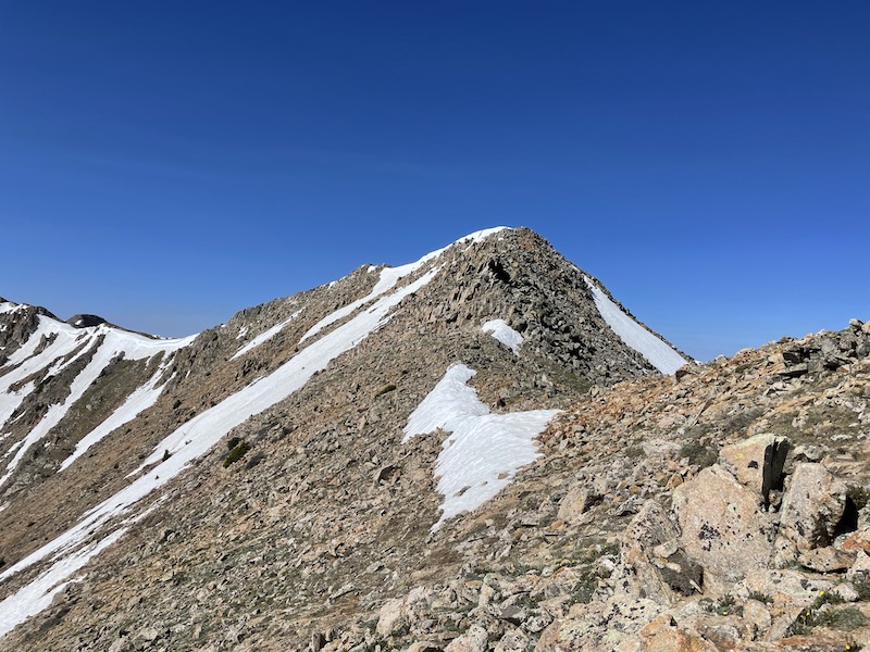
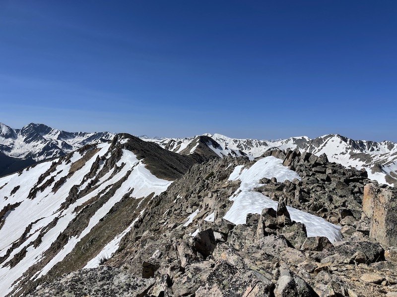
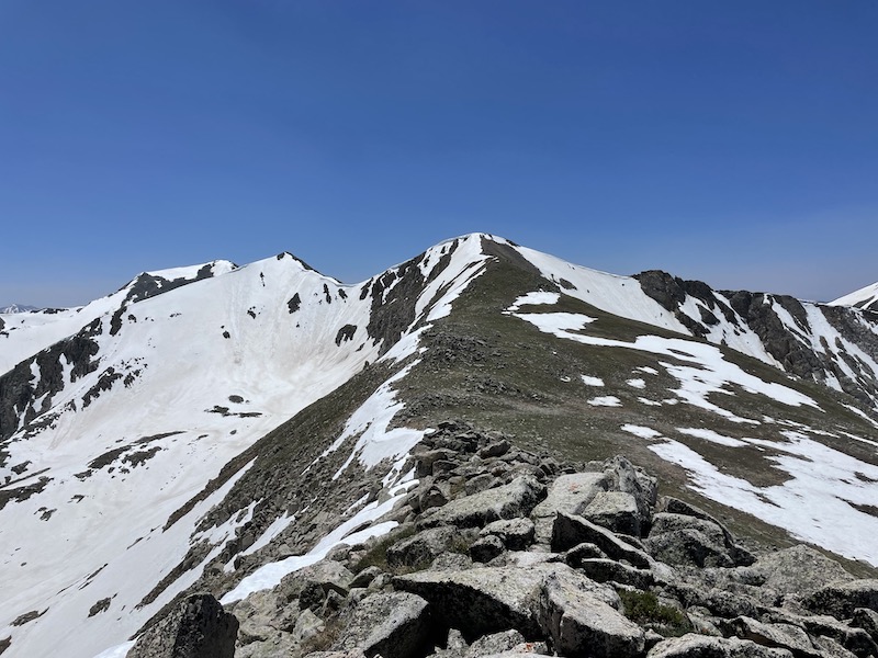
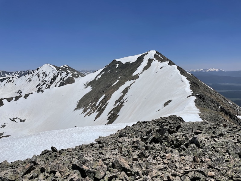
I’m not really going to go into detail on the ridges between the peaks. They were mostly class 2, with a little class 2+ and a dash of low class 3. Some terrain was alpine tundra, some was loose choss. But for the most part sticking to the ridge proper was the right choice. Only in a handful of instances did we drop down off the ridge, and when we did it generally wasn’t far.
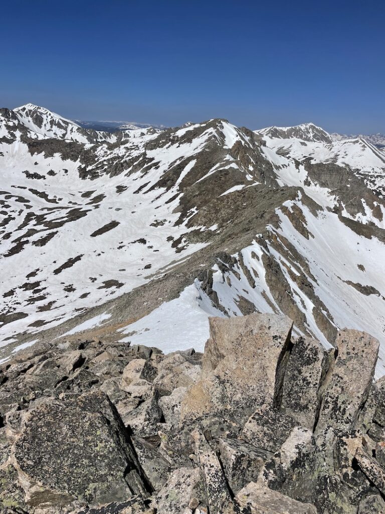

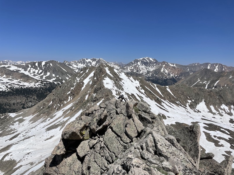
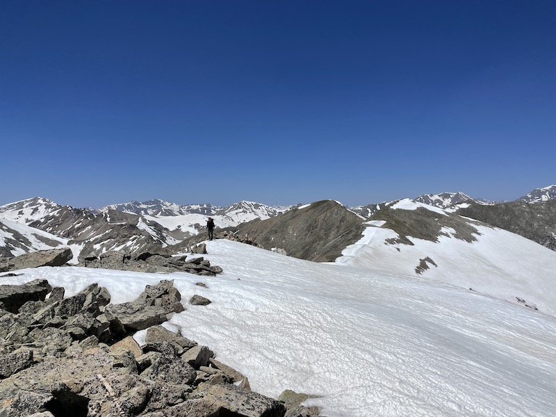

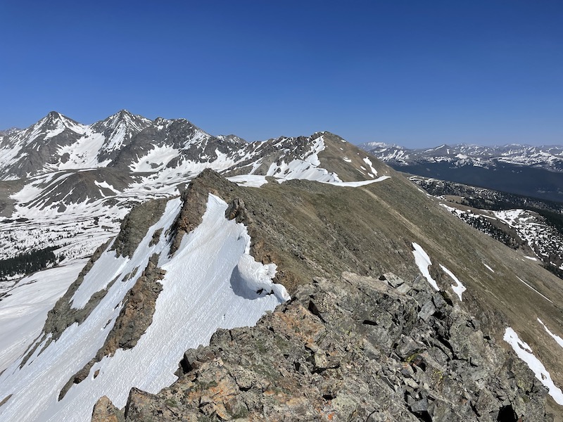

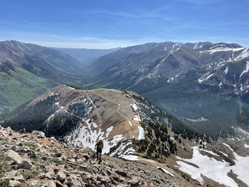
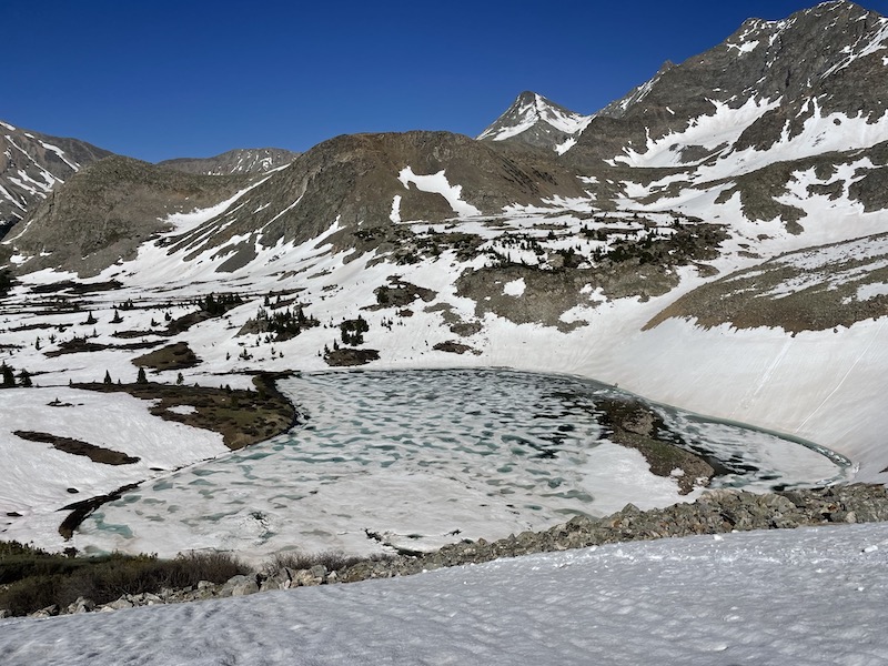
The entire day we followed mountain goat tracks, which did make our lives a bit easier. The mountain goats always know the path of least resistance in the mountains. Finally, at the end of the ridge, we spotted the mountain goats up ahead, ascending toward West Apostle.
We decided to do the loop counter-clockwise to have the nice Lake Ann trail back to the trailhead. What we didn’t account for was the large amount of snow on the North facing slopes.
The plan had been to descend off the ridge via Lake Ann pass, except that it was completely covered in steep snow with a cornice in some places. By this point (4:30pm) the snow was wet and loose and we didn’t have ice axes, so we decided to descend down a steep, grassy slope skier’s left of the pass. We were very fortunate it was there, because otherwise I’m not sure what we would have done.
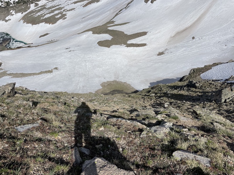

Once at the bottom of the steep grassy slope, the snow fields were well consolidated and we could just walk right over them. However, once at treeline, the “nice” trail we thought we’d conveniently saved for the last was actually covered in wet, post-holy snow that drenched our feet and made tired legs even more tired.
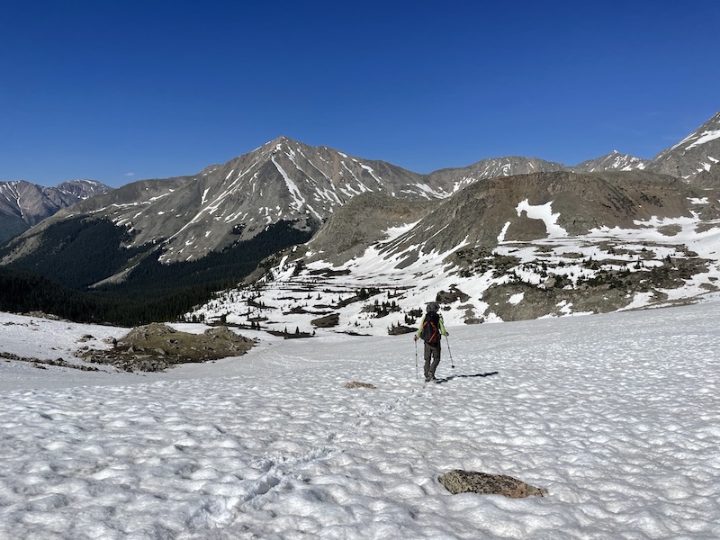

Looking back, I would have done the loop clockwise so that we could ascend the snow when it was still hard, and then descend the old mining road, which was not very covered. It would have also saved the river crossing for last. To sum it up, clockwise if there is snow, counter-clockwise if there is no snow.