Date Climbed: May 27, 2023
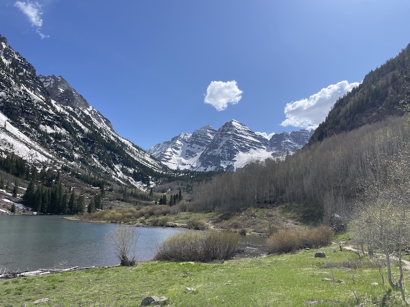
Trailhead: Maroon Lake TH
Trailhead Access: 2WD
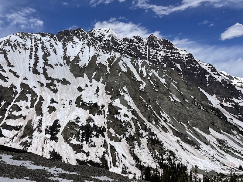
Gerry Roach’s description of Thunder Pyramid in his Colorado 13ers book makes it both terrifying and mystifying. Discouraging on one hand, but enticing on the other.
I decided that if I ever did Thunder Pyramid, it would be in the spring when we could travel over most of the rotten rock on snow, which is exactly what my alpine partner Sam and I did when we got an excellent weather and snow conditions forecast for Memorial Day weekend.
My overall impression of this peak was… it’s actually quite a nice route in these conditions. Perhaps my expectations were just so low that I was pleasantly surprised by the route. But I have no doubts that it was primarily the consolidated snow that made it not so terrible.
Because the route is west facing and gets sunlight a little later than other aspects, we figured it would buy us a little more time. We still started at 4am from the Maroon Lake TH to be safe, and we ended up needing that wiggle room because our progress was much slower than anticipated.
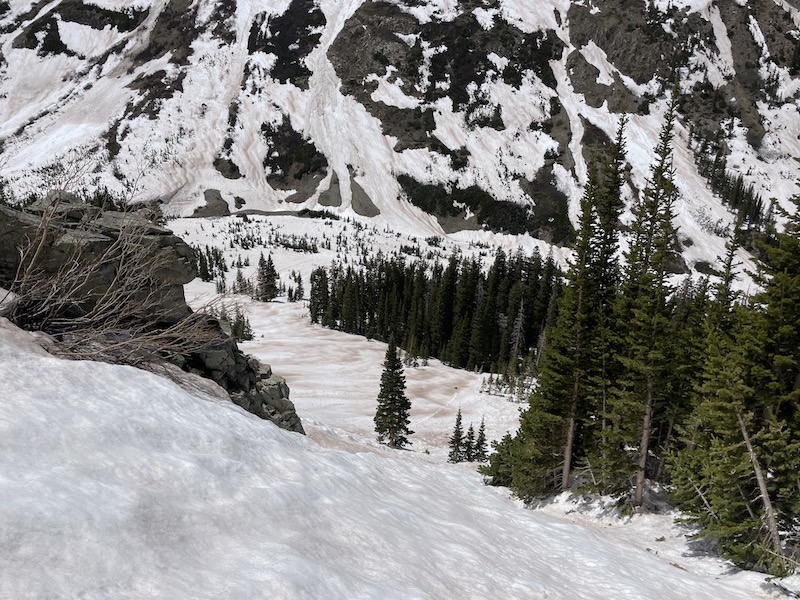
We followed the West Maroon Trail for a few miles, diverting here and there because of the snow cover. The first challenge would be to find a way to cross the river when the time came. Eventually we passed a pile of avalanche debris that I believe my friend had crossed a year earlier when the snow bridge wasn’t in. We continued straight instead and found the snowbridge in excellent shape, making our river crossing a piece of cake.


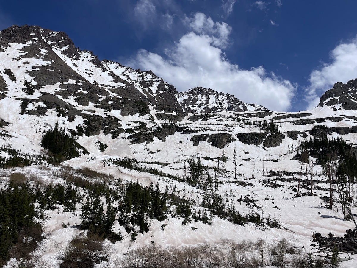
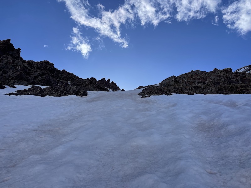
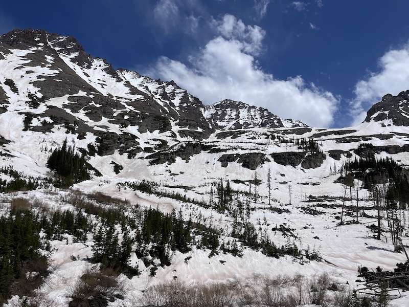
Gaining the upper slopes past cliff bands is necessary to reach the bottom of the west face. We ascended via a steep and narrow passage south of the face, and then navigated the upper slopes more easily. I was following a GPX track posted in a previous trip report by bmcqueen and found it to be extremely helpful in navigating this lower section and the couloir above.
The snow on the west face doesn’t actually go all the way to the bottom (at least it didn’t for us at this time of year), so you have to begin your ascent on grass/rock switchbacks that go between two couloirs. After a few hundred feet of gain there you will then reach the bottom of the snow alley that will take you to the ridge.
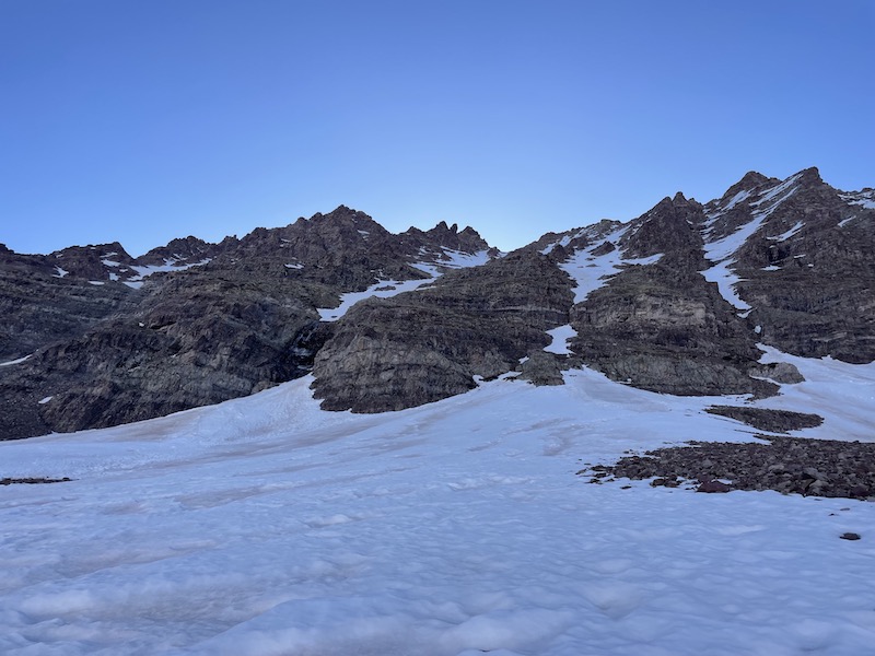
We reached the bottom of the couloir by 8:00am, a bit slower than anticipated but still leaving enough time. The snow quality was excellent for climbing, not too hard and not too soft.

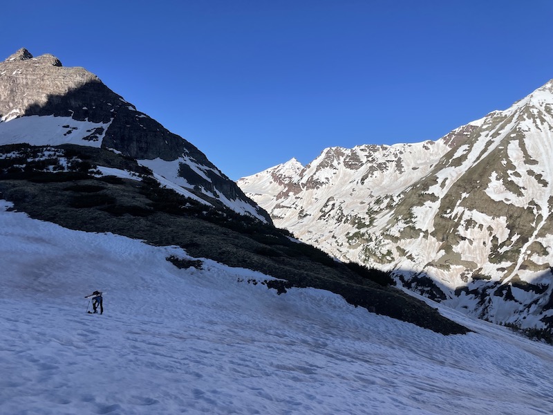

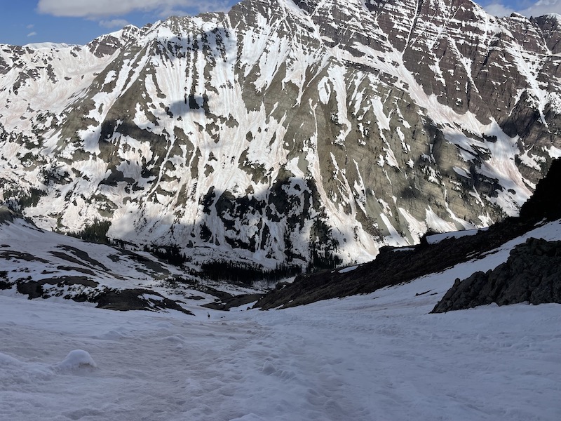
The wide snow corridor eventually breaks off into smaller couloirs near the top. I ended up missing the branch off to the right (as indicated on the GPX route) and continued straight for too long. Eventually I sensed something was wrong when the excellent snow quality turned into treacherous postholing to my knee. At first I thought maybe I could traverse over to the correct gully on the right, but the weak snow and loose rock that separated them was discouraging enough to convince me to just descend back down. Sometimes the long way around is less energy than going direct.

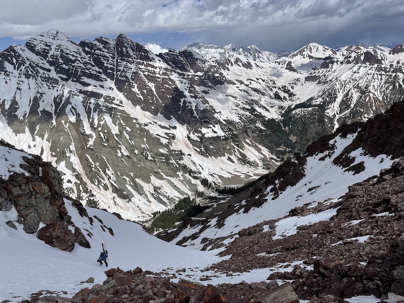
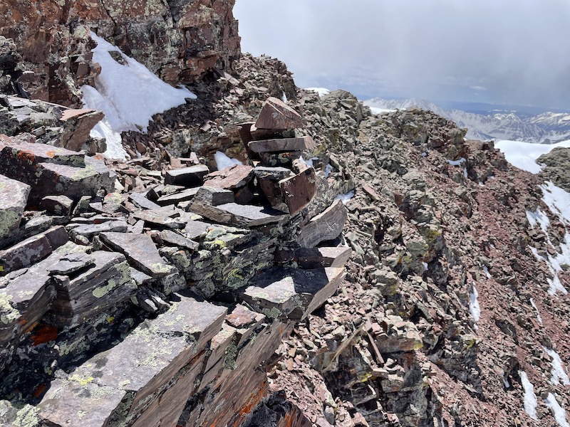
Finally back on track, the snow quality was back to optimal. And luckily, the snow made it all the way to the ridge. From there we only had the short jaunt (maybe 10-15 minutes) to the summit.
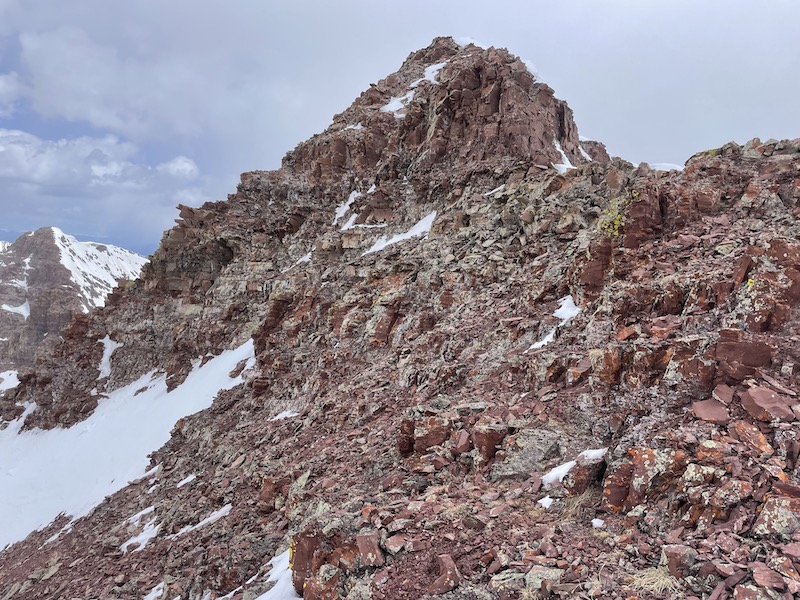
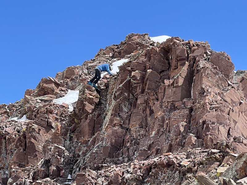
I found that sticking on or near the ridge avoided the steep, exposed, rotten stuff, but required a class 4 (pretty solid) move.
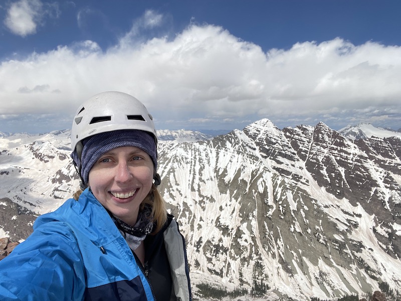
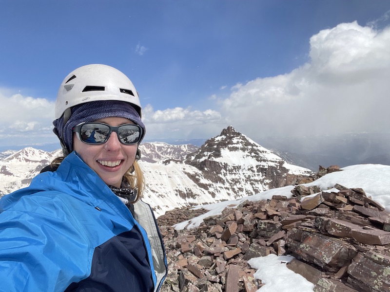
I made sure to take plenty of summit photos and videos as I doubt I would ever stand atop this peak again. As a general rule I don’t test my luck with the Elks. But the ascent was well worth it, and the views were incredible.

On the way back I would test out dropping down a little on the west side. The rock here was classically rotten, but maybe only class 2+.
We reached the ridge again and I decided to begin descending as Sam had to get his ski stuff on. It was 12:00 by this time, later than I had wanted to descend, but the snow wasn’t bad. I could make quick work of the descent with a combination of plunge stepping and glissading.
I couldn’t have taken longer than 20 minutes to get back down to the grassy/rocky section as the base of the west face.
From there, the way out was recognizable and easy to follow from memory. By the time I reached the first steep snow section, it appeared that some rocks had dislodged from the cliffs overlooking the steep snow and rolled their way down to the trees. One was a boulder the size of a coffee table. My passage beneath these cliffs was more like a run… getting clobbered like a bowling pin didn’t sound like an ideal way to end the way.
Somewhere along the trail back to Maroon Lake my watch died, so the GPX I shared is technically incomplete, but only in the obvious section of trail. Overall the climb took about 10.5 hrs car to car as we ended around 4:30pm.