Length: 3.15 miles round trip
Elevation Gain: 800 ft
Difficulty: Easy
Trailhead: Golden Cliffs Trailhead
Family Friendly? Yes
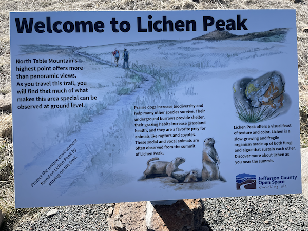
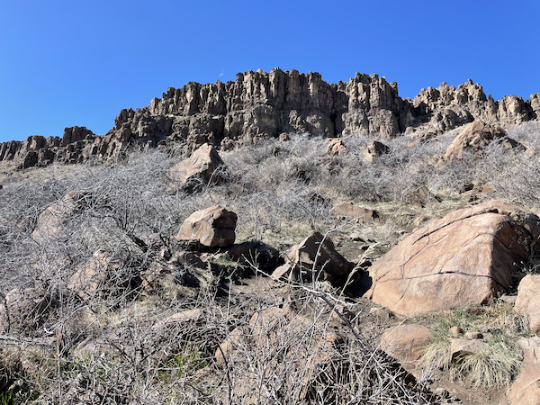
Located in Golden, Colorado, North Table Mountain is a geological wonder that offers breathtaking views of the Denver skyline, the Golden area, and the majestic Front Range. At the heart of this stunning mountain lies a peaceful, mellow knob known as Lichen Peak. Its serene atmosphere and magnificent views make it a popular destination for locals and tourists alike.
One of the reasons why Lichen Peak is so well-loved is its easy access. Located just a 20-minute drive from Denver, it’s the perfect spot for a quick escape from the city. Whether you’re looking for a scenic hike or a relaxing picnic, Lichen Peak is the perfect spot to unwind and soak up the beauty of the Colorado landscape.
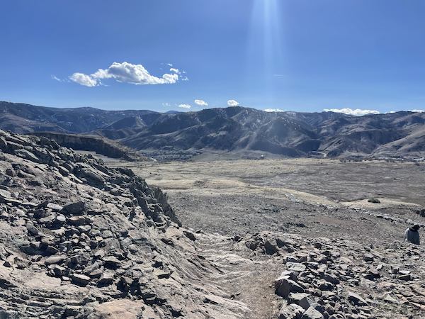
In addition to its accessibility, Lichen Peak is also known for its panoramic views. From the top, you can see downtown Denver, Golden, and even parts of Boulder.
North Table Mountain offers a variety of trails that weave in and out of the mountain from all sides, providing visitors with a range of options for exploration. In this trail report, we’ll focus on the route to Lichen Peak from the Golden Cliffs trailhead.
Note that dogs are allowed but must be leashed. I have actually seen people get ticketed here for off leash dogs so keep that in mind.
The park itself is open from 6am-7pm and 6am-930pm during daylight savings time. I honestly don’t know what they would do if you were caught here outside those hours.
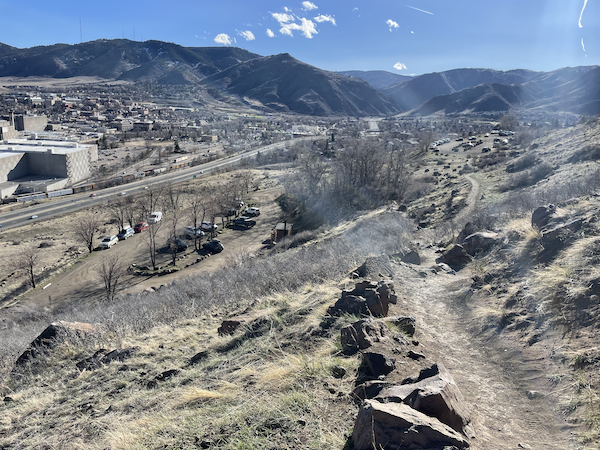
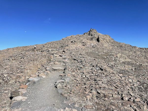
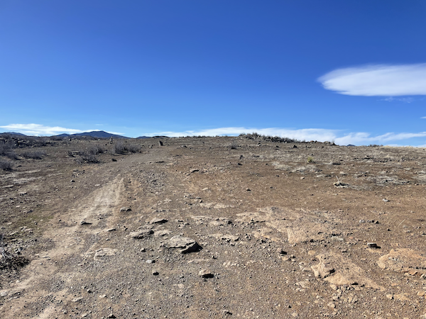
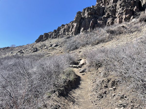
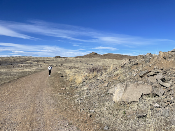
The trail begins at a fairly steep incline and passes through a popular climbing area, perhaps providing some entertainment along the way. Don’t be discouraged, though, once the trail crests the top of the mesa, it’s pretty flat from here. Some people find the rocks on the way up to be a bit slippery. I’ve never had an issue personally, but just wanted to give you a heads up in case that was a concern.
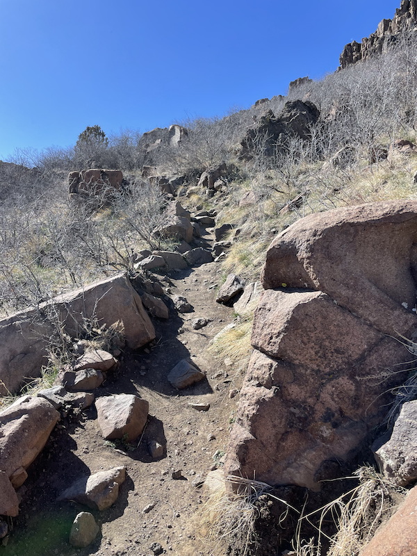
Important note: rattlesnakes so frequent this area. I have actually encountered one on this exact trail before. As long as you keep your eyes and ears open, you should be fine.
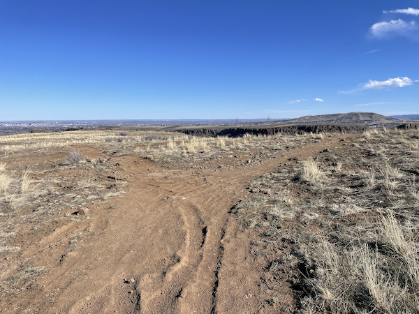
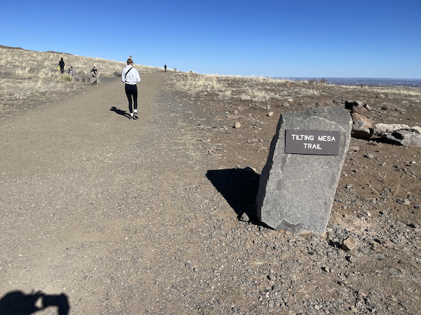
Just below the top of the mesa you’ll need to branch to the right. It’s not the most obvious fork, but after turning right and continuing a little ways you should see the wide, flat trail that’s hard to miss. Turn left on this trail.
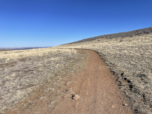
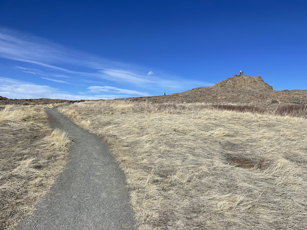
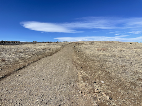
Now that you’re at the top of the mesa, it’ll be wide open, and possibly windy as it likes to be on plateaus. The trail at this point is very flat and easy to walk on. Mountain bikers like to ride around on this easy trail, and there is plenty of room to navigate around people.
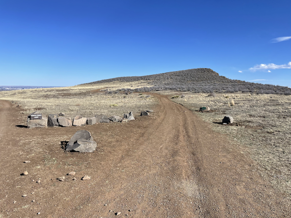
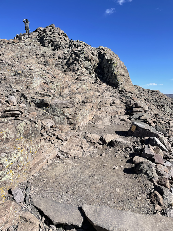
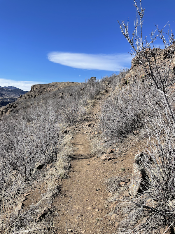
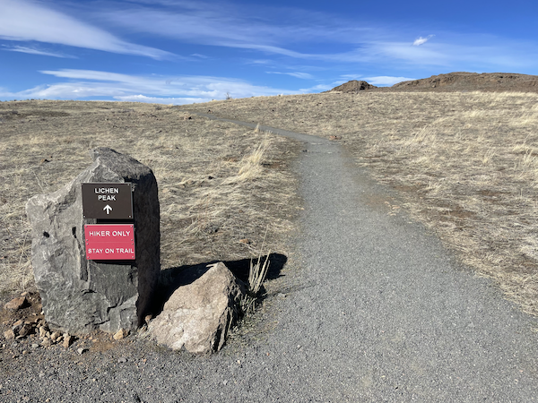
Not long after cresting the mesa top you’ll be able to see Lichen Peak. It’s an obvious rock outcropping higher than anything else.
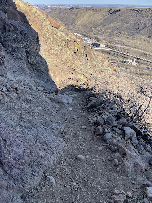
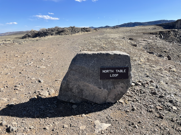
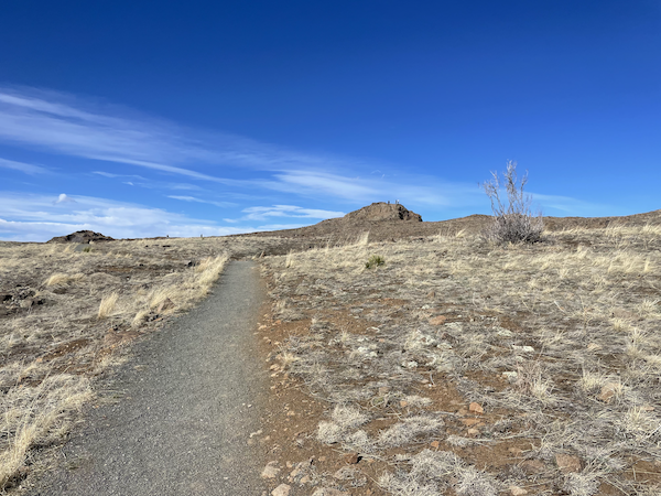
The wide, flat trail you’ve been meandering on will dead-end at an even wider, flatter tail. Turn right and then quickly turn left onto a smaller trail. There should be a sign for Lichen Peak to help guide you.
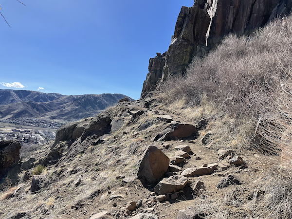
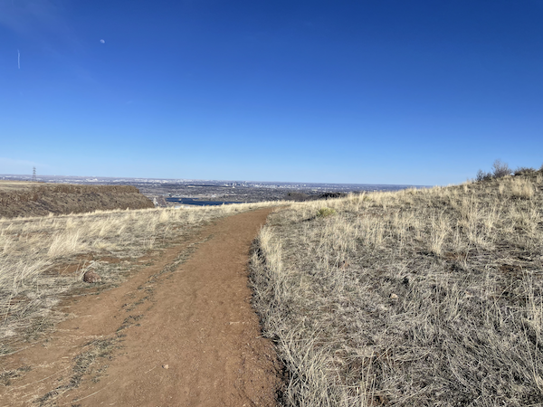
As you get closer you’ll see actual rock stairs leading up to the top, making it very easy to summit. From here, you should have fabulous views of the front range and be able to see Denver and Golden.
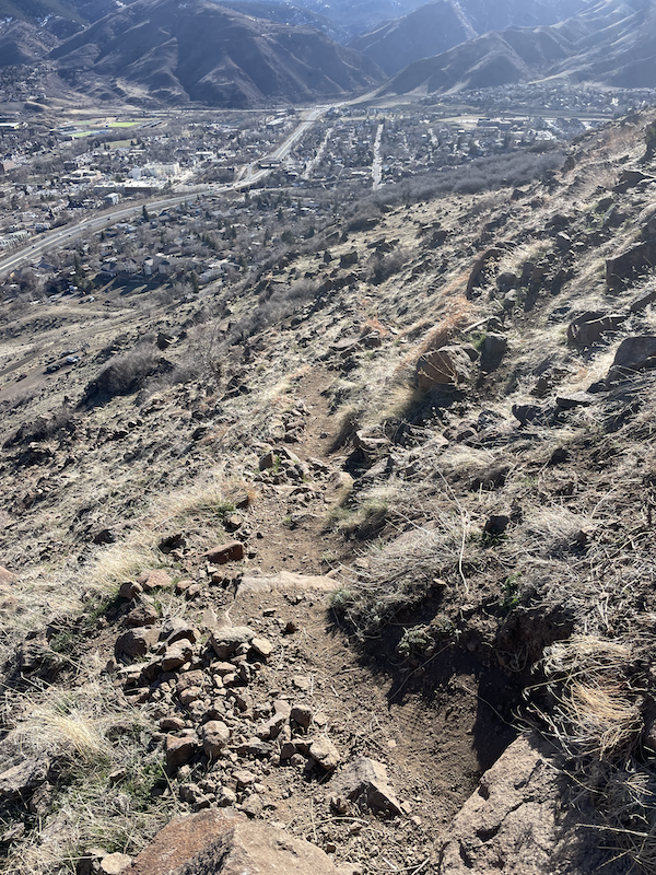
Once you’ve had your fill of the views, turn around and descend the way you came up. Retrace your steps until you’re at the point where you turned off from the narrow trail that leads back down the steep side of the mesa.
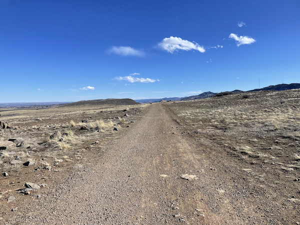
From here you can take a detour that doesn’t really add much distance or elevation to the route. Instead of turning right, stay on the large path and continue straight. There will be another fork in the road not long after, but stay right. This path will lead you around on top of the mesa, with stunning views of Denver before you.
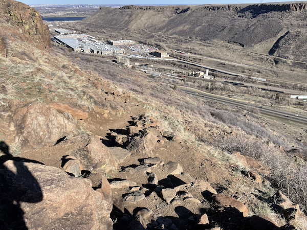
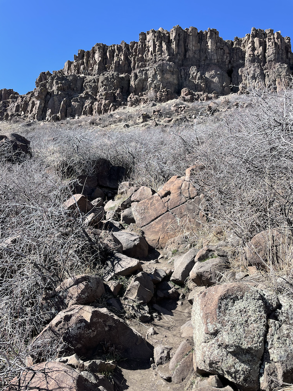
Eventually you’ll reach a break in the cliffs where you must descend between the cliffs. From the top it looks sketchy but there are actually rock stairs that make it a piece of cake.
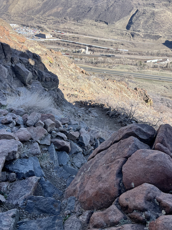
After descending between the cliffs, pick up the trail to the right, which should lead you back to the trail and descends to the Golden Cliffs trailhead.
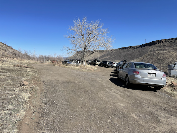
Just before the bottom there will be a fork in the path. Straight (soft right) will take you to the Overflow lot, and right will take you to the Golden Cliffs main lot.
Directions to Golden Cliffs Trailhead
With this trail, visitors should be aware that the route to the trailhead winds through a residential neighborhood, which can be a little confusing for first-time visitors.
The easiest way to find your way to the trailhead is to simply enter “Golden Cliffs – Main Parking” into your GPS and let Google maps guide you there. This will ensure that you arrive at the correct destination without getting lost or turned around.
If you’re coming from Denver, the drive to the trailhead should take you no more than 20-25 minutes, depending on your starting point. Whether you’re a local or a tourist, this makes the trail a convenient destination for a day trip or a quick outdoor adventure.
Once you arrive at the trailhead, you’ll have the option of parking in one of two lots: the Golden Cliffs lot or the Overflow lot. While there isn’t much of a difference between the two lots, it’s worth noting that the Overflow lot does offer more parking space. It’s also worth keeping in mind that local code enforcement is strict when it comes to parking violations, and visitors who park in a no-parking zone could find themselves facing a costly ticket.
To avoid any parking headaches, it might be best to head straight to the Overflow lot. As you enter the dirt road that leads to the trailhead, you’ll come to a junction with signs pointing to each lot, making it easy to find your way to the right spot.

Lichen Peak Photo Gallery