Date Climbed: Aug 31, 2019
Trailhead: Kilpacker Basin Trailhead
Trailhead Access: Passenger
Grade: Class 4
I did the West Route of El Diente in 2019, so obviously I’m late in posting. However, it was one of my absolute favorite routes and memorable days in the mountains, and feel that this one is better late than never.
Unfortunately I do not have a GPX for this route as it was before I started recording my hikes. I would have found one useful, particularly in finding the best route to gain the West Ridge from Navajo Lake.
My friend Sam and I drove down and parked at the Kilpacker Basin trailhead, ready for a backpacking trip. We had originally planned to just do the El Diente – Mt. Wilson traverse, but like any good adventure our plans changed last minute when Sam talked me into attempting the West Ridge of El Diente.
At that time the only beta we had was from Gerry Roach’s 14ers guide. All we had from that was about two paragraphs of description and a dotted line on a small map to figure out the way.
So we set out to the Navajo Lake basin where the plan was to set up camp for the night and start really early to give ourselves as much daylight to do the West Ridge and the El Diente – Wilson traverse. The pack into Navajo Lake was pretty straightforward as there was a nice path all the way there.
The next day we set out very early (I think around 4:30am) to begin our ascent. According to Roach’s book, you begin the route from the west side of Navajo lake and traverse southwest up the slope until you gain the ridge. With just rough eyeballing I compared the route line in Roach’s book to my GAIA map, manually mapping out a route based on what he had suggested. The day before we had made mental notes while there was still daylight of the north slopes we’d be traversing on to try to skirt around the cliff bands. The north slopes are just steep, loose talus for the most part, but there are some rotten cliff bands that break up the slopes partway up.
The talus was quite loose indeed; I’m pretty sure we woke up every campsite at Navajo Lake with the rocks we knocked down the side of the hill, sending loud cracks and echos throughout the valley. It didn’t help that Sam was eating a bowl of cereal as he traversed.
At one point in the darkness we reached the cliff bands that we had to navigate through. In my opinion, this was the sketchiest part of the entire day. Class 3 cliff bands surrounded by and covered in loose scree called for very careful foot placement and some crawling on all fours. Eventually we got past the cliffs and could walk on much easier terrain to the start of the ridge.
It was actually difficult to tell exactly where the ridge was because further down it’s just a big, convex piece of terrain without obvious downslopes to the left and right. I used my maps apps on my phone to help figure out where the lower ridge was.
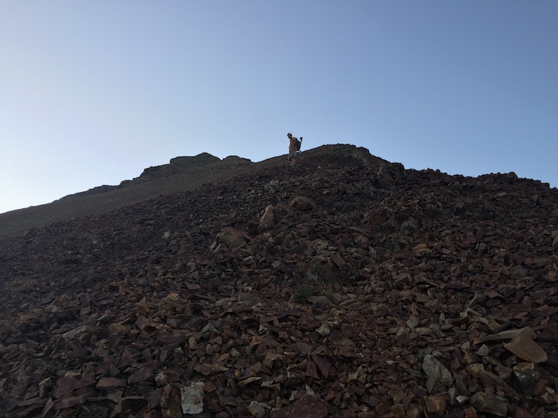
At a certain point in our ascent we gained the upper ridge where it was much more obvious and where the rest of the route was clearly before us.
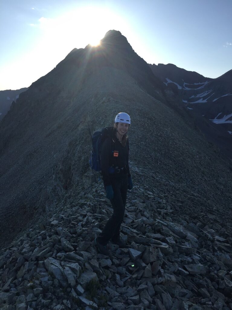
The beginning of the traverse is easy walking on a wide ridge. As you progress along, though, it gradually narrows and becomes more solid and technical. For most of the ridge you can see the summit of El Diente.
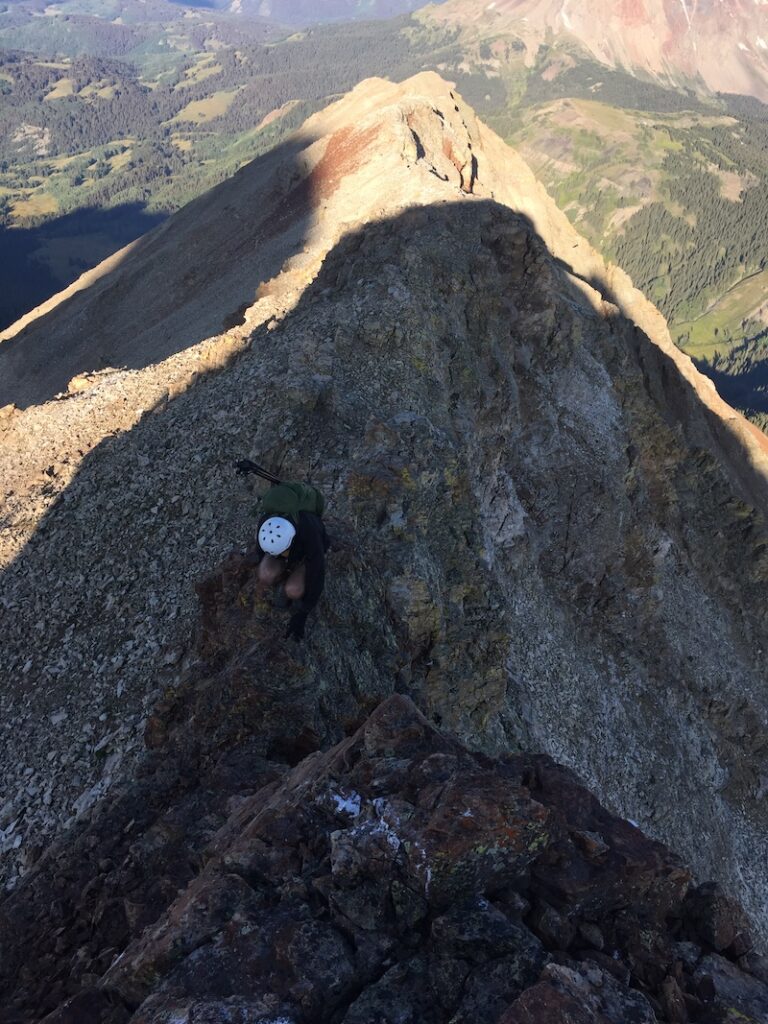
Eventually the ridge becomes very exposed at times, with only a foot or two of width and drop offs on either side. The navigation in this area was not difficult, though, and the rock was quite solid and no harder than class 4.
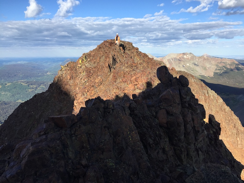
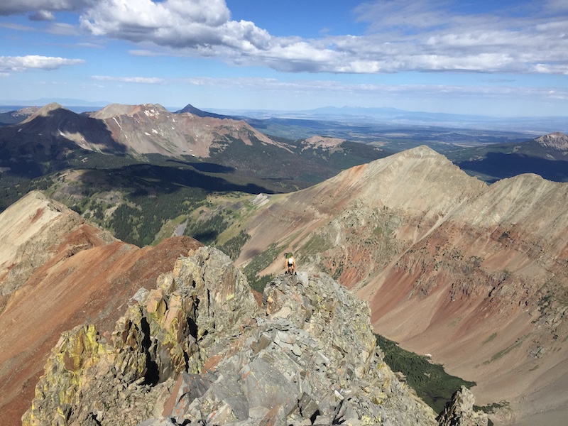
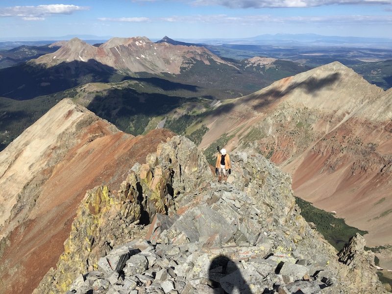
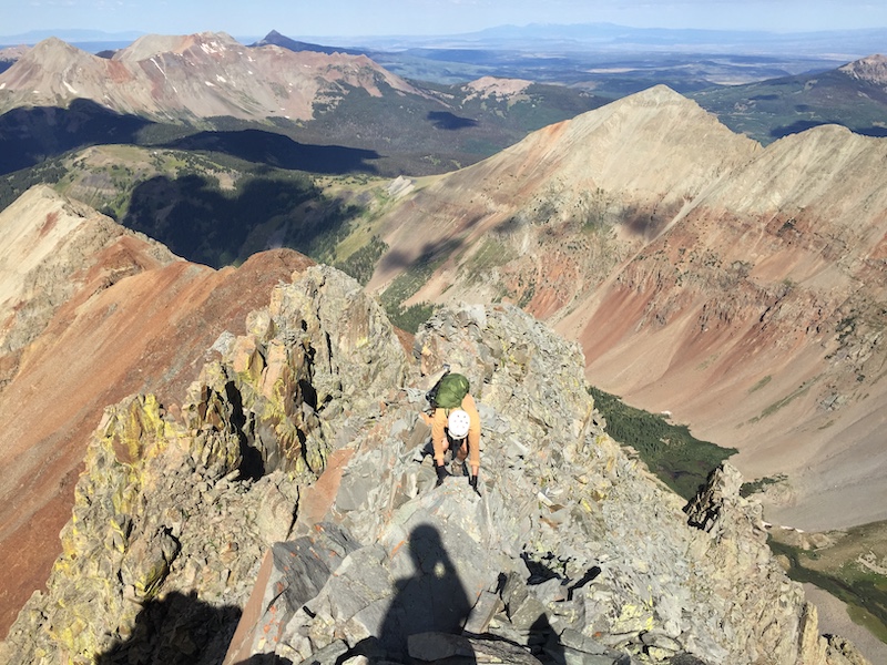
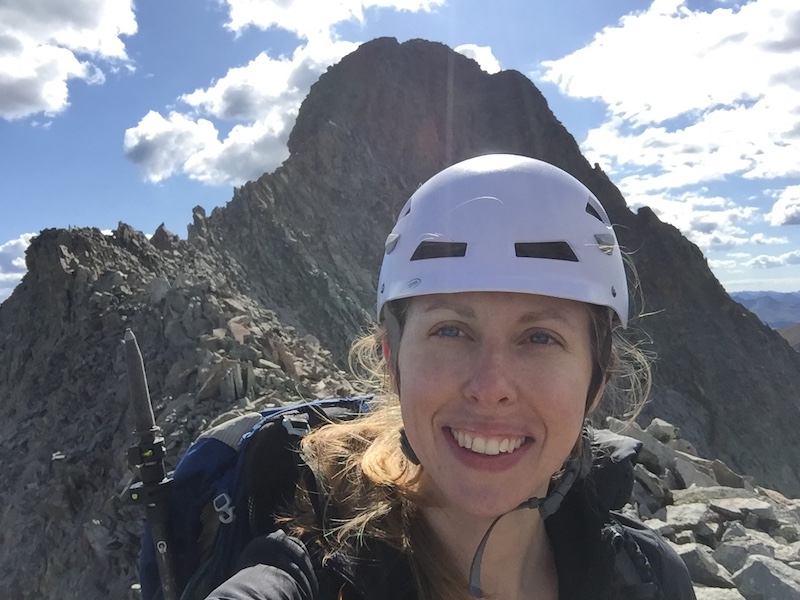
We pretty much stayed on the ridge proper for the entire West Ridge EXCEPT for one section. Unfortunately, I don’t have any information on where this section was. Somewhere in our class 4 traverse we ran into some gendarmes that we agreed would require class 5 down climbing to get around. So instead of attempting this technical terrain, we backtracked about a hundred yards and descended a bit down a gully to the right (north) in hopes of finding a clear route. After descending maybe a hundred feet we traversed along the side, navigating through broken terrain. Finally Sam spotted a cairn (the only one we saw that day) off in the distance directly ahead of us (and parallel to the ridge).
At the cairn we were able to ascend back up diagonally to the ridge, where we remained until the summit. This brief detour away from the ridge was by far the most navigationally difficult part of the traverse, and there certainly might have been other ways of navigating this section we did not explore. Also, the entire time we kept referring back to Roach’s route description trying to parse out how he had navigated this section, but simply couldn’t figure it out.
The rest of the ridge was straightforward and the find summit push only class 3 climbing that went by quickly. On the summit of El Diente we celebrated our victory over the West Ridge. And yet, we still had a long day before us.

From here, we did the classic class 4 El Diente – Wilson traverse. Comparatively the navigation was much easier as there was actually a worn path where you could tell people had gone. There were also lots of cairns. I won’t go into much detail on this traverse as there is already a plethora of information out there on it, and we pretty much stayed to the exact beta.
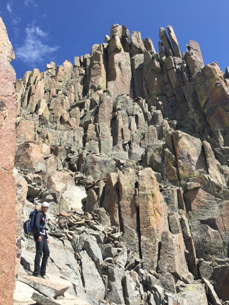
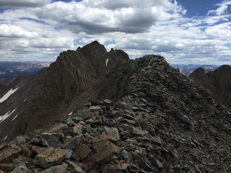
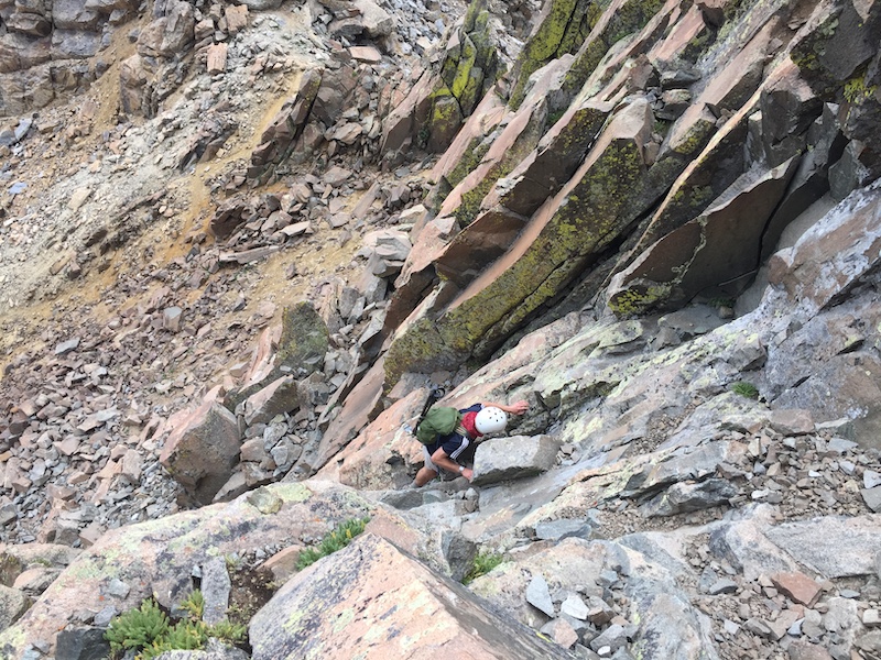
My only note of the El Diente – Wilson traverse was on the final climb near the summit. A lot of route descriptions suggest climbing where my friend Sam is right now in the photo above, but I found that area to be much more technical than the route I took staying climber’s right of this grey/green section. To the right it’s a bit more blocky and the rock seemed less smooth. I actually felt you could keep this section class 3 with careful route selection.
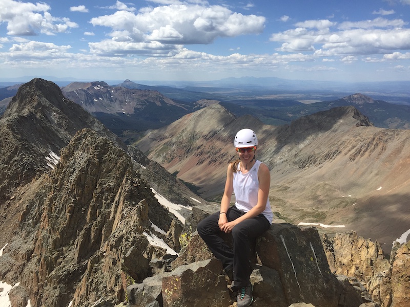
We finally gained the summit of Mt Wilson. All in all, doing the West Ridge and classic traverse between the peaks meant we were on a ridge for roughly 3 miles!
Our route back to camp at Navajo Lake from the summit was most likely not the best one. The best route (in my opinion) would have been to descend down the North Slopes route on Mt. Wilson. This would have deposited us in the same basin as Navajo Lake and been a short jaunt back to camp. However, because we had only decided to do the West Ridge last minute, I did not have any route beta on the North Slopes. Our original plan (when we were going to just do the traverse) was to camp in Kilpacker Basin, so I had downloaded beta on the Southwest Slopes of Mt. Wilson route.
I didn’t feel comfortable attempting a class 4 route I had absolutely no information on, so we decided the safest option would be to descend down the Southwest Slopes route (into the opposite basin as our campsite) and then make a super long trek from Kilpacker Basin back to Navajo basin. This would put us at a 16 hour day, but I still think it was the right choice in retrospect. Of course my advice to my past self would have been to plan better and get beta for the North Slopes route, but hindsight is 20/20.
Descending the Southwest Slopes wasn’t as bad (in my opinion) as other people had made it out to be. It was indeed loose and a little tricky to navigate, but it surely wasn’t as bad as the talus slopes gaining the West Ridge.
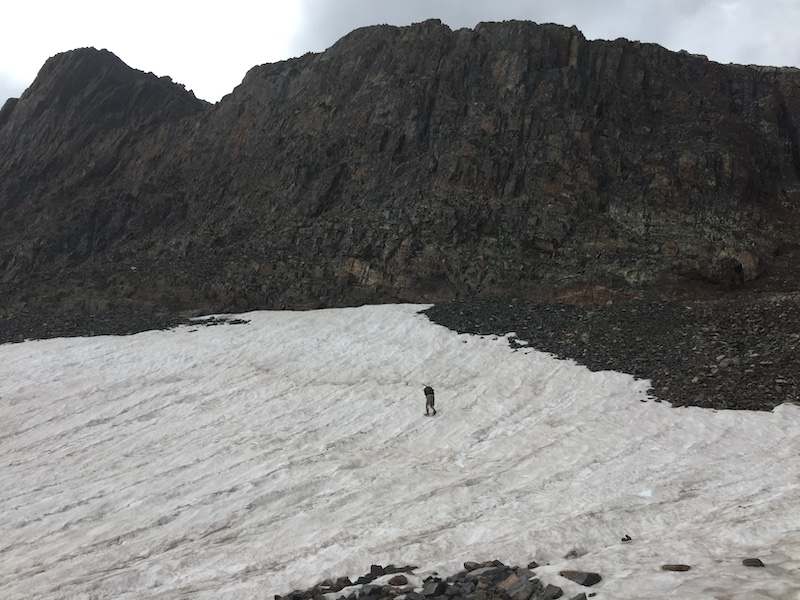
Sam chose to have fun doing mini glissades on the snowfields on the way back. I was too tired for that.
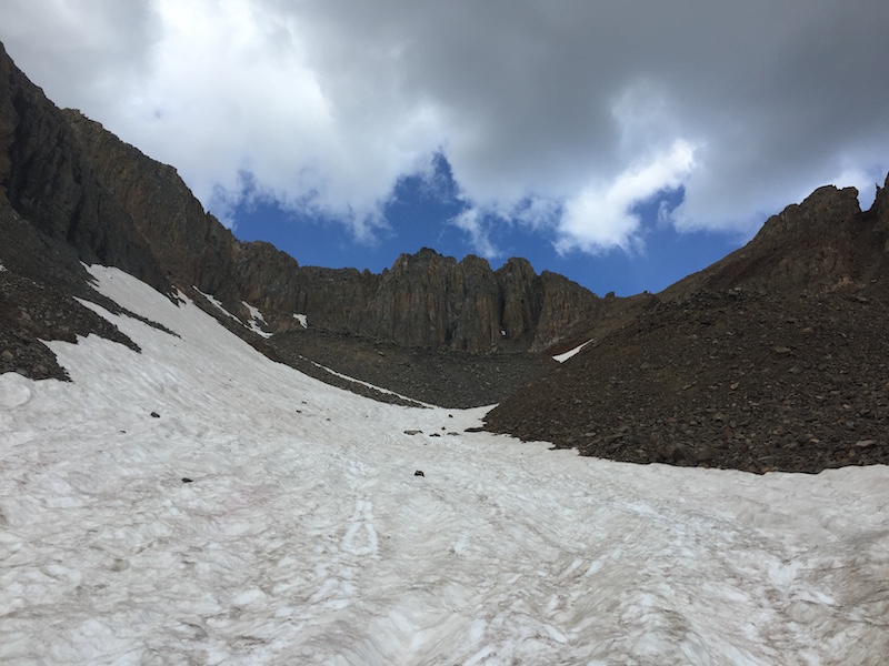
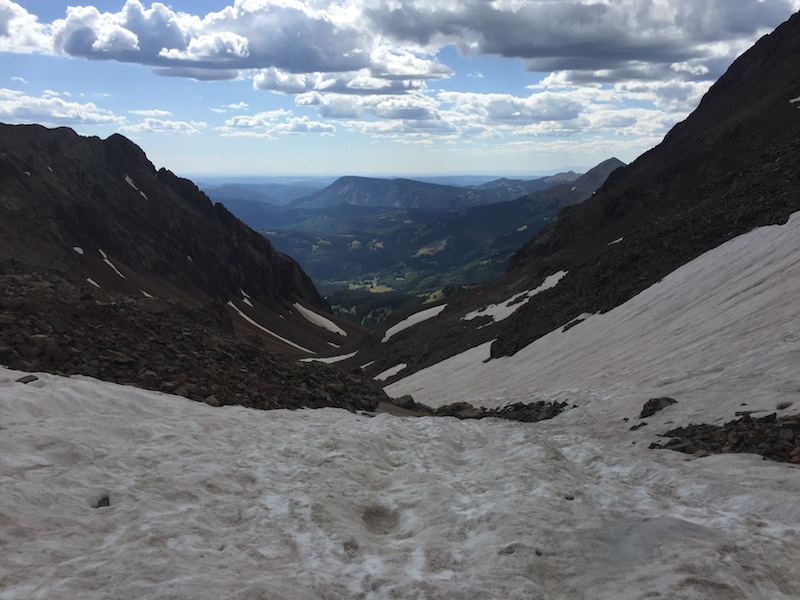
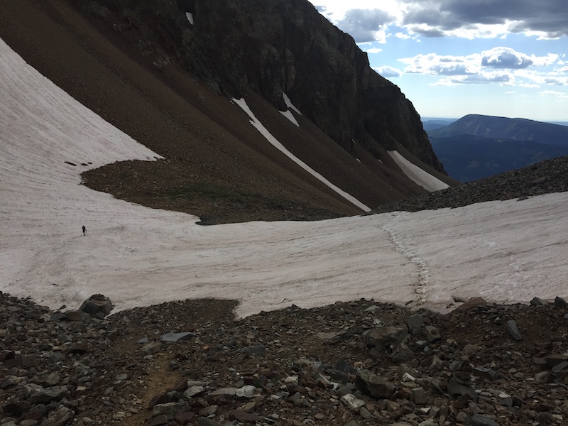
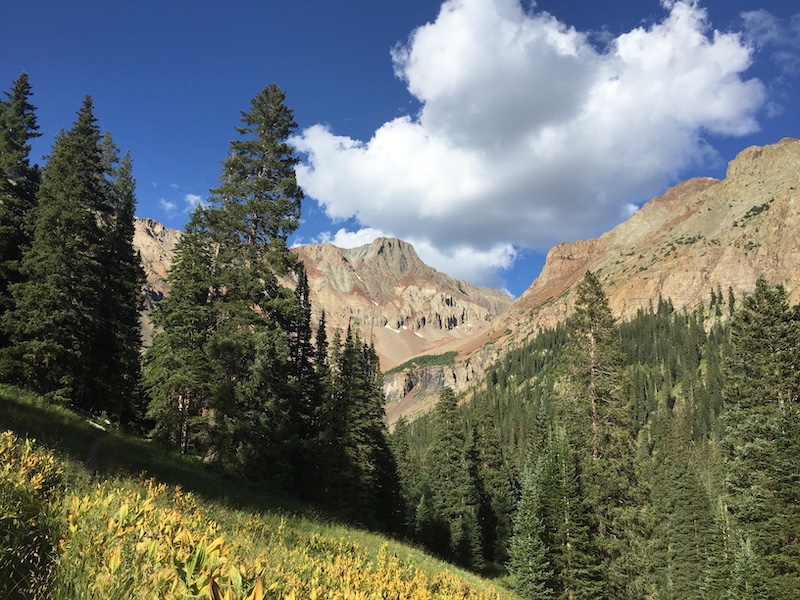
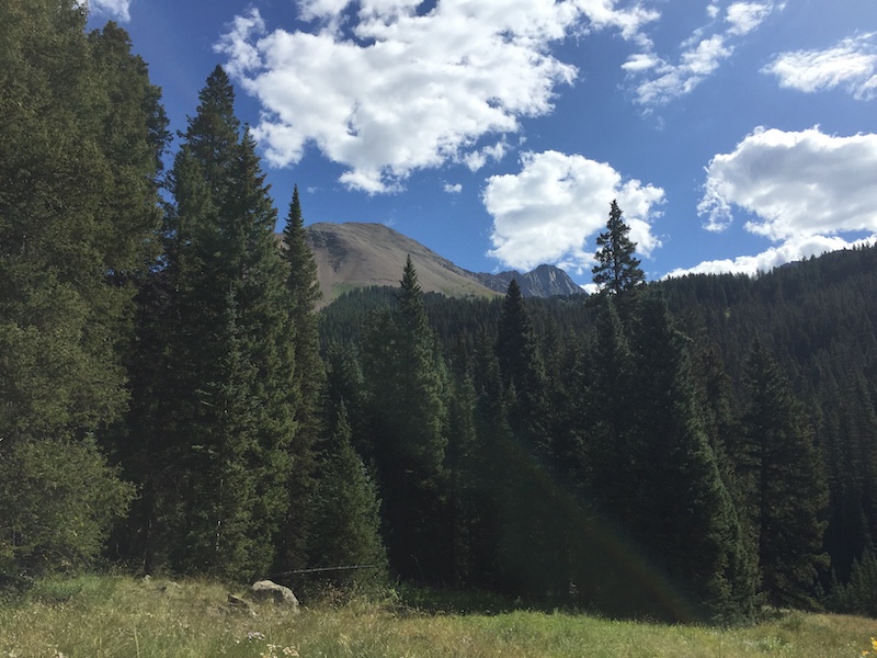
We made out way back to camp in Navajo basin. I honestly cannot remember if we camped there for the night or if we packed out right away. Knowing my crazy self I would not be surprised if we packed out as I was always in a hurry in those days.
Final Thoughts: West Ridge of El Diente
Looking back I regret not saving more information on this route. I would have liked to have more beta on the West Ridge as not many people do it.
Overall, the west ridge of El Diente is a spectacular route, especially when combined with the El Diente – Wilson traverse. To this day I tell people this was my favorite route.